ADC has used drone Photogrammetric technology to determine earth movement quantities in the past, with good success. However, this required many years of training and experience with large earth moving projects using traditional survey techniques to identify errors in the photogrammetric data. Correction factors were implemented until a reasonable estimate was reached. With drone RTK v2 technology there is no need for guess work because of the accuracy of the data collected. The following is a comparison of the two technologies:
1. Photogrammetric Models: Vertical accuracy depends on how close the drone is to the surface. At 25m (82 feet) above ground level a model could theoretically have an accuracy of 1cm or 2cm with a 5cm Absolute Horizontal Accuracy. Not accurate enough for construction of roadways, site grading, pipelines, etc.
2. RTK v2: less than 1cm+1ppm (within mm’s) RTK Horizontal Positioning Accuracy and 1cm+1ppm (within mm’s) RTK Vertical Positioning Accuracy.
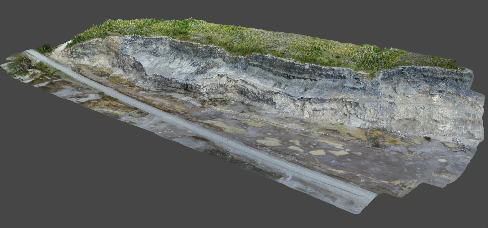
 Figure 1 – 3D model of Quarry Face and Roadway created from Drone RTK point cloud
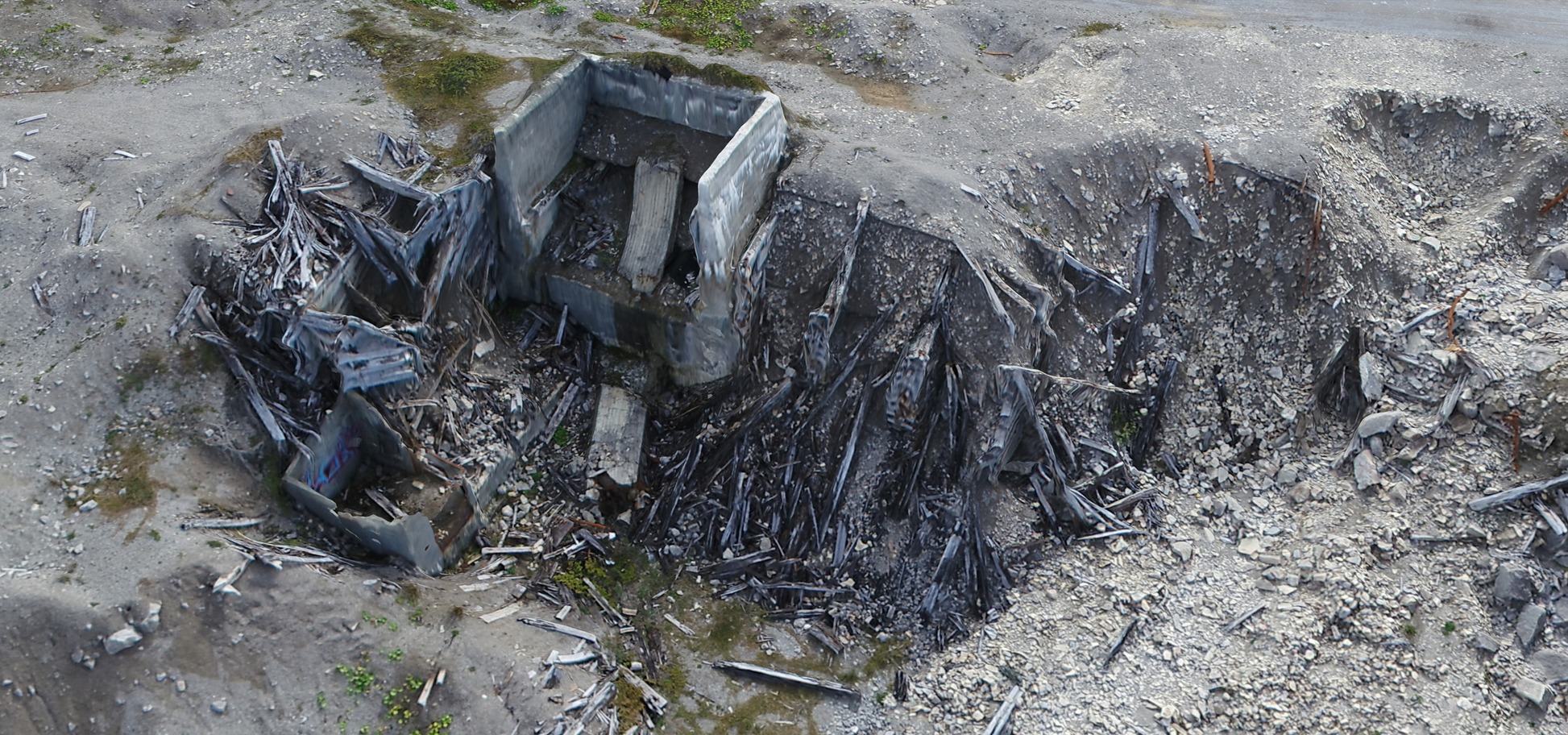
 Figure 2 – 3D Model of Old Ship Loading Facility created from Drone RTK point cloud
 Figure 3- 3D Model of Old Crusher location created from Drone RTK point cloud


