






ADC (Aguathuna Drafting and Consulting Company Ltd.) is female owned and a proud member of the Canadian Council for Aboriginal Business and Qalipu First Nations. As an Aboriginal Certified Business, ADC is permitted by the Professional Engineers and Geoscientists Newfoundland & Labrador (PEGNL) to offer limited engineering design and construction administration services for roadways, water systems, sewer systems, storm drainage management systems, civil site works and potable water & wastewater.
What is 6K? We can tell you for sure that it isn’t a standard definition, not high definition, and not in the slightest a HD resolution! 6K is 6 times HD!
Collect survey data about human-made features, natural elevations and features of the land.
Limited Engineering & Drone Mapping Services
As an Aboriginal Certified Business, ADC is permitted by the Professional Engineers and Geoscientists Newfoundland & Labrador (PEGNL) to offer limited engineering design and construction administration services for roadways, water systems, sewer systems, storm drainage management systems, civil site works and potable water & wastewater treatment systems. In addition, another vital element of our business is our Drone mapping services and thermal imaging.
We're about Quality and Trust.
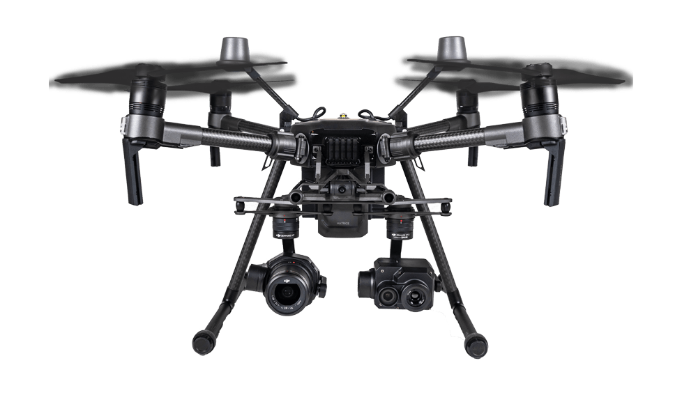
ADC Ltd. have a thorough quality control program that follows all current Engineering standards. Our drones can provide 24MP photos and 1080P, 4K and 6K quality video! We use some of the best equipment on the market today and are happy to say we’re one of the few companies in North America who do what we do!
ADC Ltd. has all applicable certifications licenses such as a Permit to Practice Limited Engineering in the Province of Newfoundland and Labrador with the Professional Engineers and Geoscientists Newfoundland & Labrador (PEGNL), an Advanced Remote Pilot Aircraft Systems (RPAS) License with Transport Canada (read more)

Featured Services
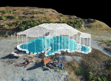
Cost effective, safer, and provide accurate topographic information.
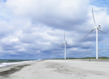
With wind turbines there is always the need for regular maintenance, servicing and inspection.
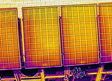
By Using a combination of infrared & thermal imaging, we can provide on the spot detections, solutions & reporting.
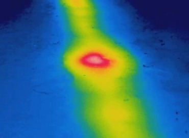
We can identify and localize defects to pipeline insulation and leaks using thermal imaging equipped drone. ADC will contract with qualified Engineers when performing this work.

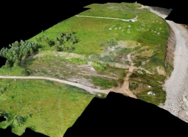
We offer 3D topographical maps, stockpile yard 3D models, infrastructure and asset 3D models and lots more.
More Services

Monitor the growth, movement and spread of Fauna throughout rural and regional areas. Track feral animals over a designated area at night or day using thermal imaging sensors, to assist in strategically planning a solution.
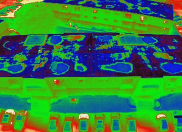
Infrared imagers can detect this heat and “see” the warmer, higher mass areas, during the “window” of uneven heat dissipation. Heat loss and other Thermal imaging services can be performed at the same time.
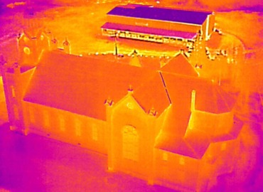
Inspecting buildings using a thermal imaging camera is a powerful and non-invasive means of monitoring and diagnosing the condition of the building.
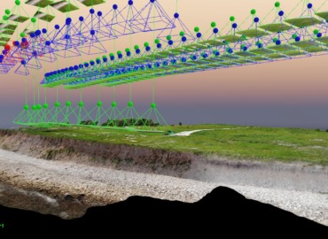
Collect survey data about human-made features, natural elevations and features of the land.
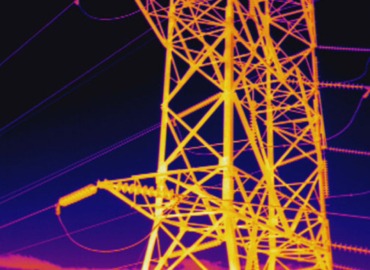
With the use of drone inspection and survey services, you can now gain vantage points which were literally impossible to traditional methods just a few years ago and you can inspect significant distances of power line in a single drone flight.
Our Team
Who We Are
Aerial Thermal Inspections are the best non-invasive way to inspect hard-to-reach places or assets that are above ground. With an drone being much more cost effective compared to other manned aircraft, being able to utilize this revolutionary technology for asset inspections needs has never been easier.

Jamie Goosney
Project Manager and Limited License Engineer
To help complete predesign analyses and to monitor construction progress, ADC has been using Remotely Piloted Aircraft Systems (drone) since 2016, to create aerial orthomosaic images, photogrammetry surveys, topographic maps and thermographic infrared surveys.
We love what we do and it shows!
“Teaming up with ADC has been what my company has been looking for! We’re marketing professionals who deliver many services that use high-end design programs to complete our work for our clients. Post-processing work for ADC is a great experience where we love processing the data to see happy, satisfied clients.”
Recent Posts
Coastal Erosion Protection at Marche’s Point Cemetery, Port au Port, Newfoundland and Labrador, Canada.

Aguathuna Drafting and Consulting Company Ltd. (ADC) is a licensed and permitted, by PEGNL, Engineering company in Newfoundland and Labrador, with its head office located in Port au Port East, NL, Canada.
The company’s focus is on municipal engineering, civil engineering and drone RTK & thermographic services. To help complete predesign analyses and to monitor construction progress, ADC has been using Remotely Piloted Aircraft Systems (drone) since 2016, to create aerial orthomosaic images, photogrammetry surveys, topographic maps and thermographic infrared surveys.