Cost effective, safer, and provide accurate topographic information.
Cost:
Aerial mapping topography saves our customers money as it is able to cover larger areas than a typical survey crew in the same amount of time, reducing costs almost in half. On a recent project we were able to survey a group of stockpiles in just an hour – a task that would have taken 8 hours with two surveyors. This project generated 50 million data points!
More Information:
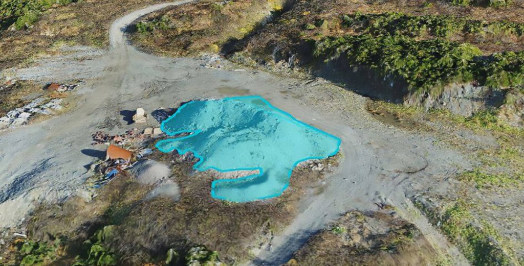
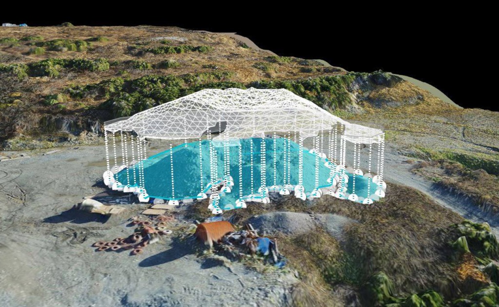
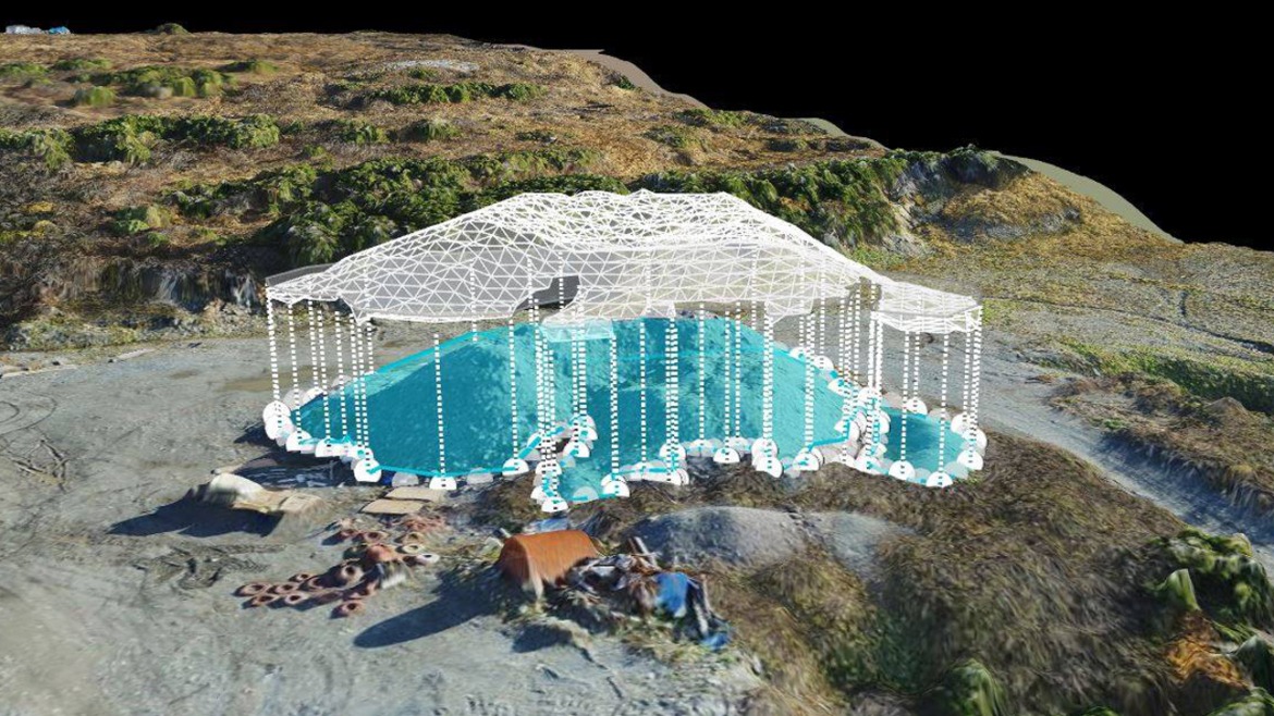
Unlike a ground-based GPS survey, an aerial survey also captures visual information that can be a helpful management tool. We can generate high resolution air photos as well as high-resolution 2-dimensional maps and 3-dimensional models. Typical GPS surveys only provide computer generated surfaces.


Safety:
Putting survey crews near steep slopes and blast faces – especially on active piles and quarries – can pose safety risks to individuals. By utilizing aerial surveys, the survey instruments are 80 metres above the ground surface with the UAV pilot stationed on the ground in a safe location.
Would you like to inquire about our services?


