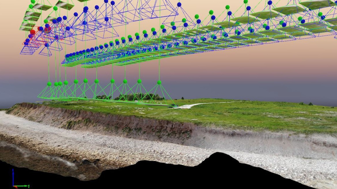
We gather data about the elevation of land at key points of a site (property, area of land, defined boundaries etc.).
A topographical survey is an accurate type of survey that gathers data about the elevation of land at key points of a site (property, area of land, defined boundaries etc.). It is then presented as contour lines on a plot that is scaled and detailed according to the spatial considerations required by the client.
The main purpose for having a topographic survey is to collect survey data about man-made features, natural elevations and features of the land. These survey reports can then be used by architects, engineers, farmers and building contractors. Additional information can often be integrated into topographical surveys including site sections, spot heights, underground utilities and other relevant information. By using a detailed topographical survey at the early design stage of a project can save both time and reduce the overall costs of the project. Commercial grade RTK v2 equipped drones can perform accurate high-level topographical surveys. Our drones use the latest surveying technology to offer clients a real time saving and cost saving alternative to more traditional methods or land surveying. ADC will contract with qualified Surveyors when required.
Would you like to inquire about our services?


