

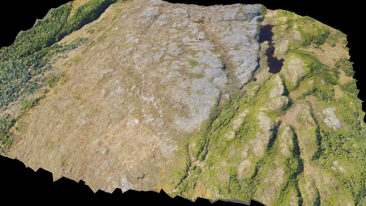
We offer 3D topographical maps, stockpile yard 3D models, infrastructure and asset 3D models and lots more.
We provide an effective and powerful high density and high accuracy 3D modelling system to provide clients with top results. Our drones can capture specific areas of interest using HD camera capturing technology which is then processed to produce a final 3D modelling solution.
With the use of ADC’s drone, we can offer 3D topographical maps, stockpile yard 3D models, infrastructure and asset 3D models and lots more. All of this can be done in a fraction of the time that regular and conventional survey and inspection methods would take. When it comes to stockpile or inventory that needs to be calculated on a monthly, quarterly, or yearly basis, our drone can cut the time from weeks to days with less time on site. Less time disruption means more cost savings for clients.
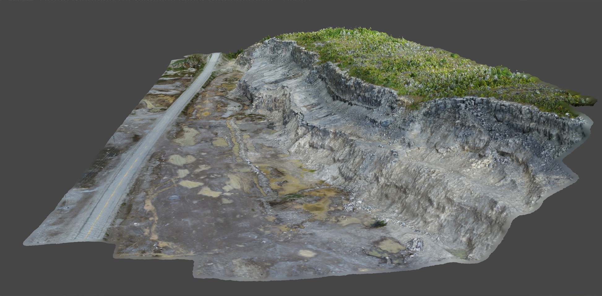 Figure 1 – 3D model of Quarry Face and Roadway created from Drone RTK point cloud
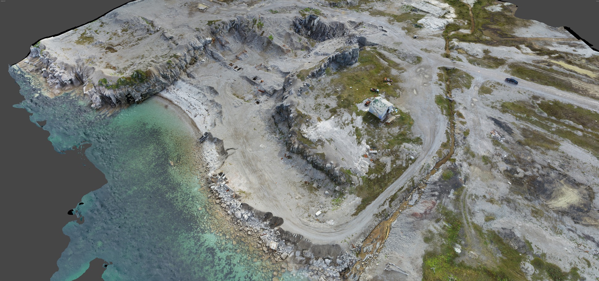 Figure 2 – 3D Model of Old Ship Loading Facility created from Drone RTK point cloud
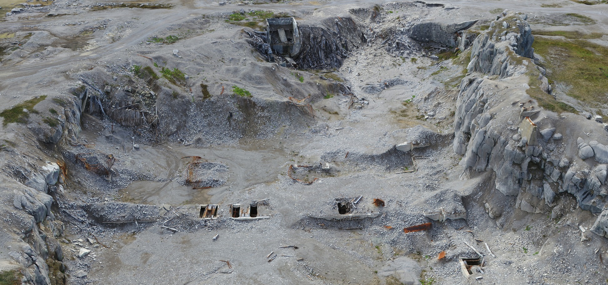 Figure 3- 3D Model of Old Hoppers location created from Drone RTK point cloud
Would you like to inquire about our services?