What We Offer
Aerial Thermal Inspections are the best non-invasive way to inspect hard-to-reach places or assets that are above ground. With a drone being much more cost effective compared to other manned aircraft, being able to utilize this revolutionary technology for asset inspections needs has never been easier.
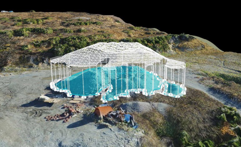
Cost effective, safer, and provide accurate topographic information.
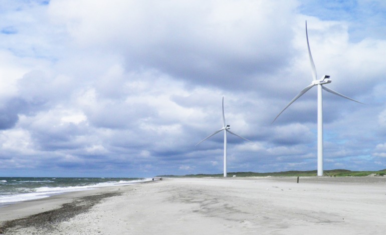
With wind turbines there is always the need for regular maintenance, servicing and inspection.
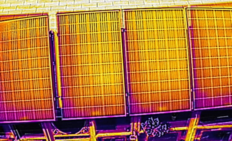
By Using a combination of infrared & thermal imaging, we can provide on the spot detections, solutions & reporting.
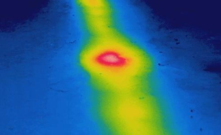
We can identify and localize defects to pipeline insulation and leaks using thermal imaging equipped drone. ADC will contract with qualified Engineers when performing this work.
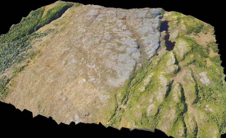
We offer 3D topographical maps, stockpile yard 3D models, infrastructure and asset 3D models and lots more.
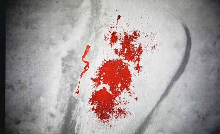
Pipes leaking into the soil underground will still show up on thermal imaging scans. This means that clients no longer need to dig up vast areas of pipeline to simply locate a leak – we can now find it for them.
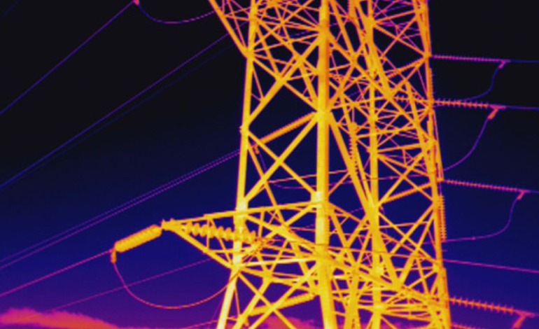
With the use of drone inspection and survey services, you can now gain vantage points which were literally impossible to traditional methods just a few years ago and you can inspect significant distances of power line in a single drone flight.
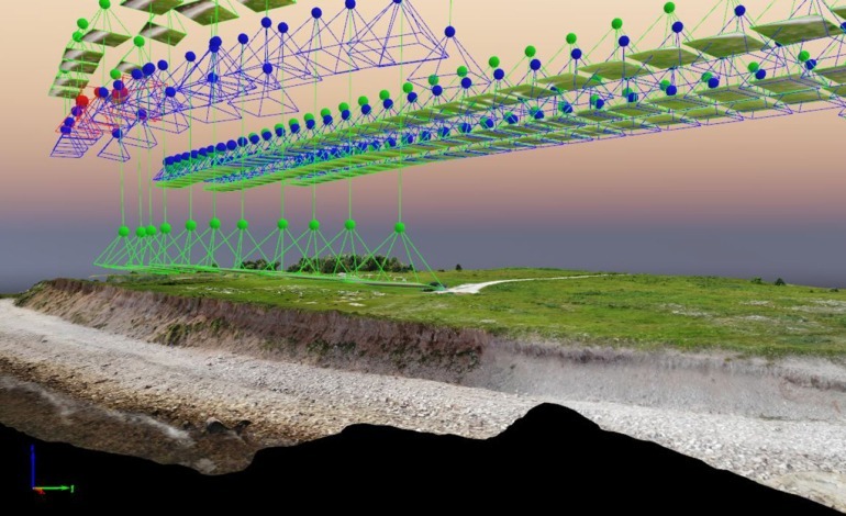
Collect survey data about human-made features, natural elevations and features of the land.
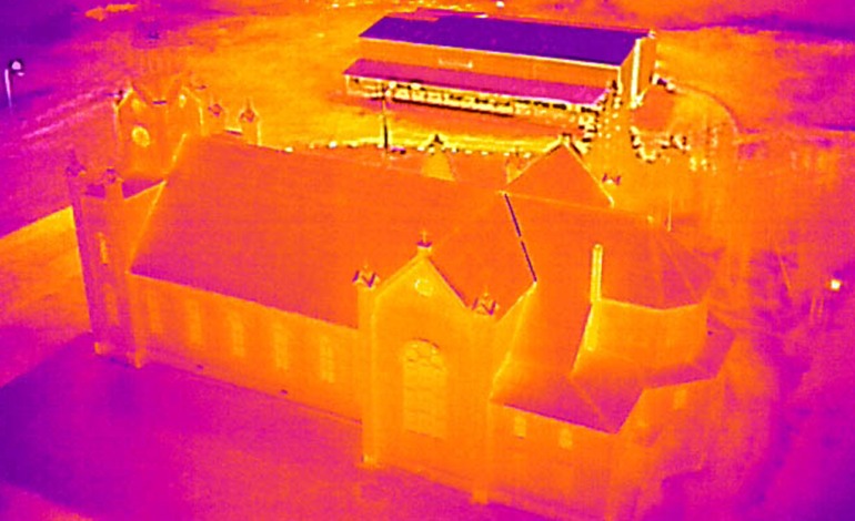
Inspecting buildings using a thermal imaging camera is a powerful and non-invasive means of monitoring and diagnosing the condition of the building.
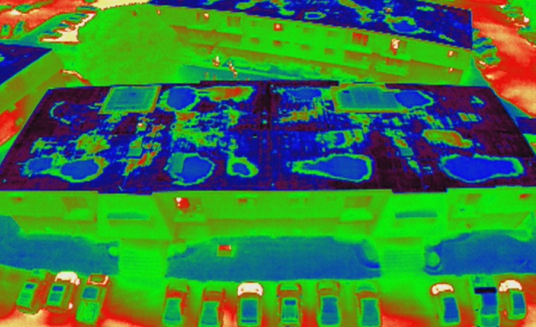
Infrared imagers can detect this heat and “see” the warmer, higher mass areas, during the “window” of uneven heat dissipation. Heat loss and other Thermal imaging services can be performed at the same time.
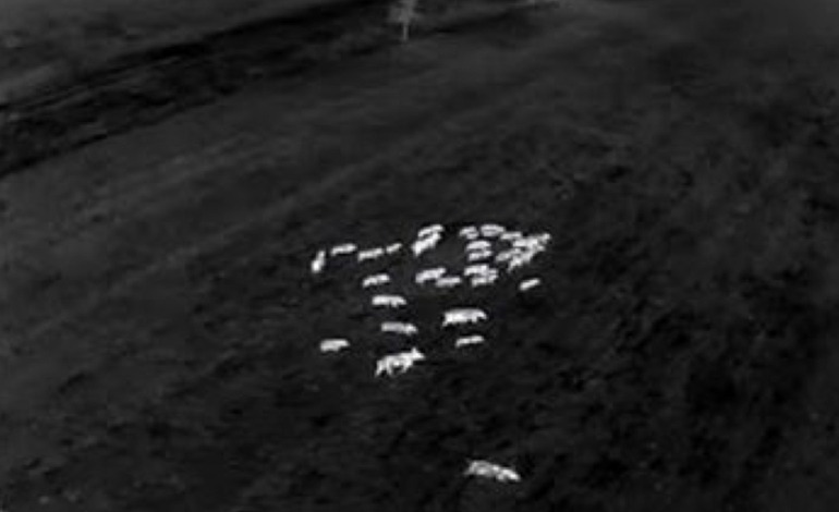
Monitor the growth, movement and spread of Fauna throughout rural and regional areas. Track feral animals over a designated area at night or day using thermal imaging sensors, to assist in strategically planning a solution.

