In 2018 ADC was contacted by the Corner Brook Catholic Diocese to conduct an assessment at their property in Marche’s Point Cemetery, Port au Port, Newfoundland and Labrador, Canada.
It was evident, upon arrival, that covering the entire area in concern by foot would be very lengthy and problematic. ADC, using a drone equipped with a camera and mapping software completed and arial reconnaissance mission. Using the data collected, ADC created a 3-dimensional model of the eroded embankment. This 3D model gave a different perspective not possible before of the erosion issue and allowed the engineers to determine a course of action to stop mother nature from eroding more of the embankment near the cemetery.
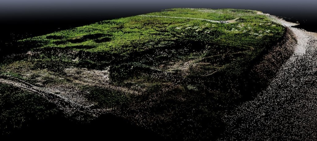
A point cloud is created using software similar to Pix4D. The point cloud is imported into a civil cad-package and then used to create a 3-dimensional surface.
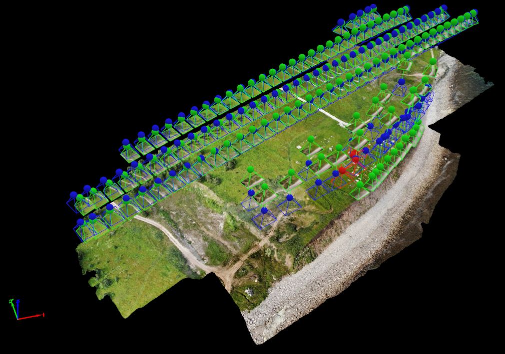
This image shows the actual locations and angles that the aerial photographs were taken by the drone.
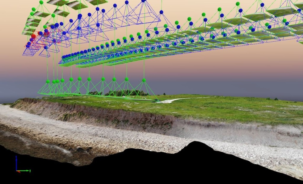
Same concept as above, though showing a different viewing angle.
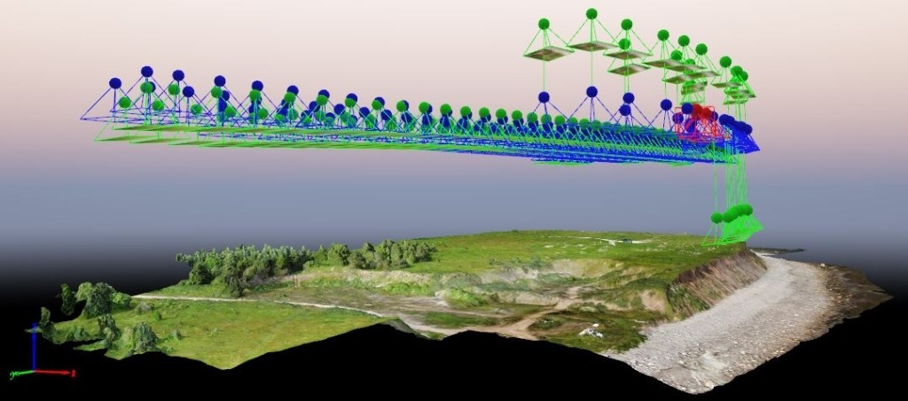
Same concept as above, though showing a different viewing angle.
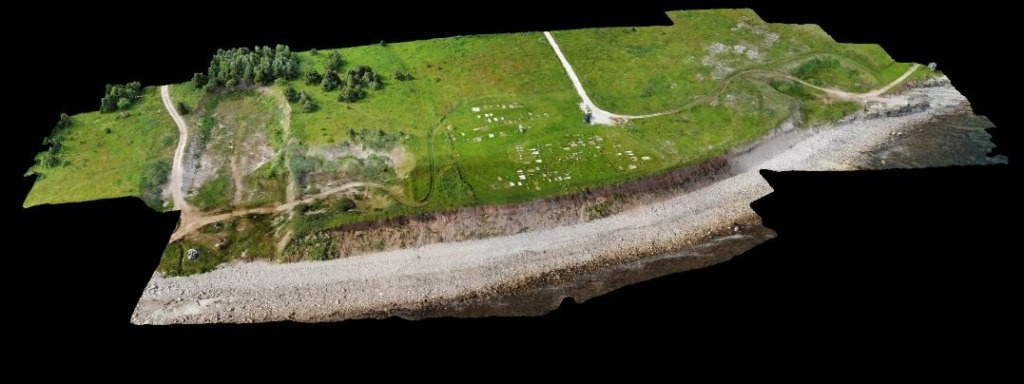
This is the actual 3D rendered model in its completed state showing the existing site conditions.

Once again, this is the actual 3D rendered model in its completed state showing the existing site conditions, though shown via a different angle.
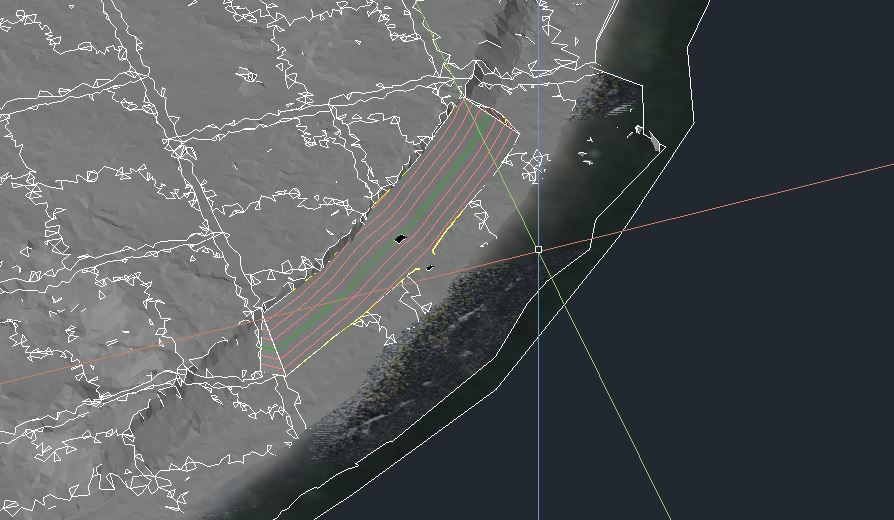
The 3D designed slope protection was completed by modelling it against the existing embankment. The embankment surface was derived from the drone captured images and photogrammetry. The quantities for the designed protection slope was within 5% of the actual infill of armour stone and rip-rap.

