
Aguathuna Drafting and Consulting Company Ltd. (ADC) is a licensed and permitted, by PEGNL, Engineering company in Newfoundland and Labrador, with its head office located in Port au Port East, NL, Canada.
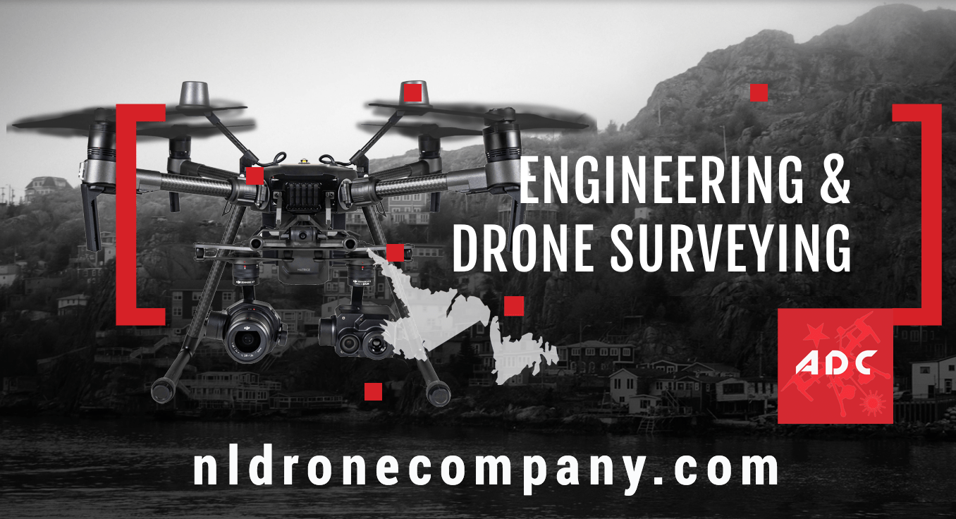
The company’s focus is on municipal engineering, civil engineering and drone RTK & thermographic services. To help complete predesign analyses and to monitor construction progress, ADC has been using Remotely Piloted Aircraft Systems (drone) since 2016, to create aerial orthomosaic images, photogrammetry surveys, topographic maps and thermographic infrared surveys.
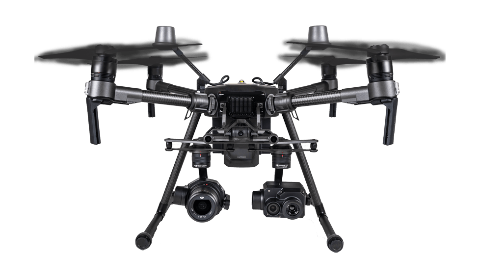
Professional solutions using drone 4K/HD Cameras and Thermography:
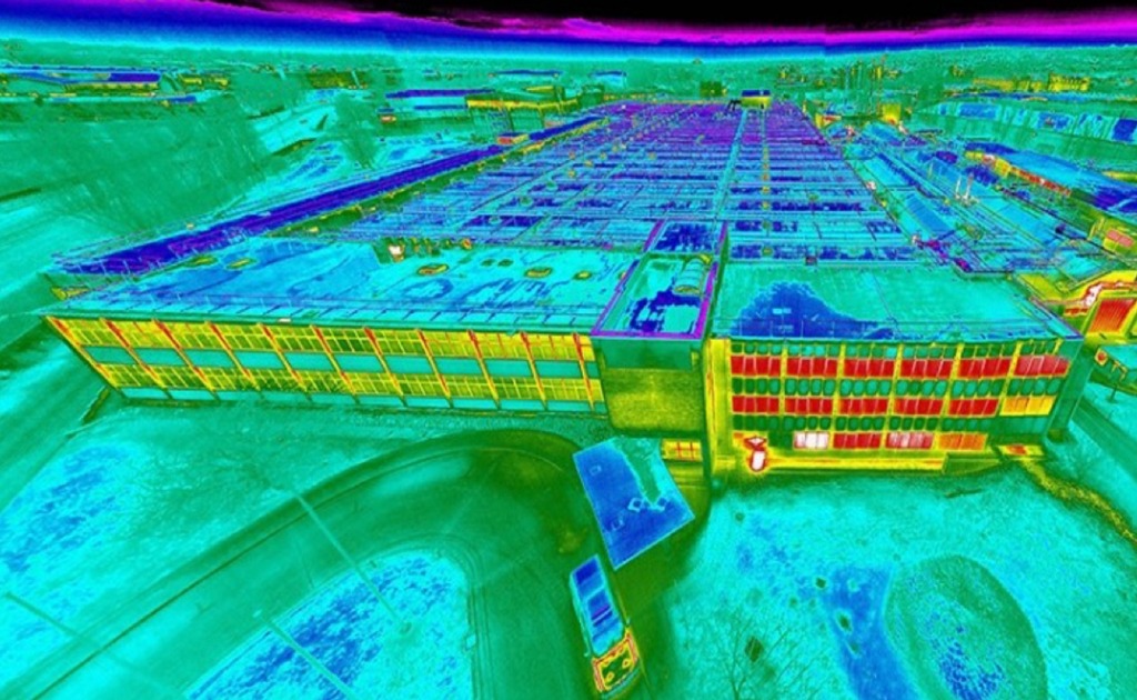
Aerial Thermal Inspections are the best non-invasive way to inspect hard-to-reach places or assets that are above ground. With an drone being much more cost effective compared to other manned aircraft, being able to utilize this revolutionary technology for asset inspections needs has never been easier.
Drones are providing various professional solutions for a host of industrial applications. These include, but are not limited to, the following:
- Utility Inspection;
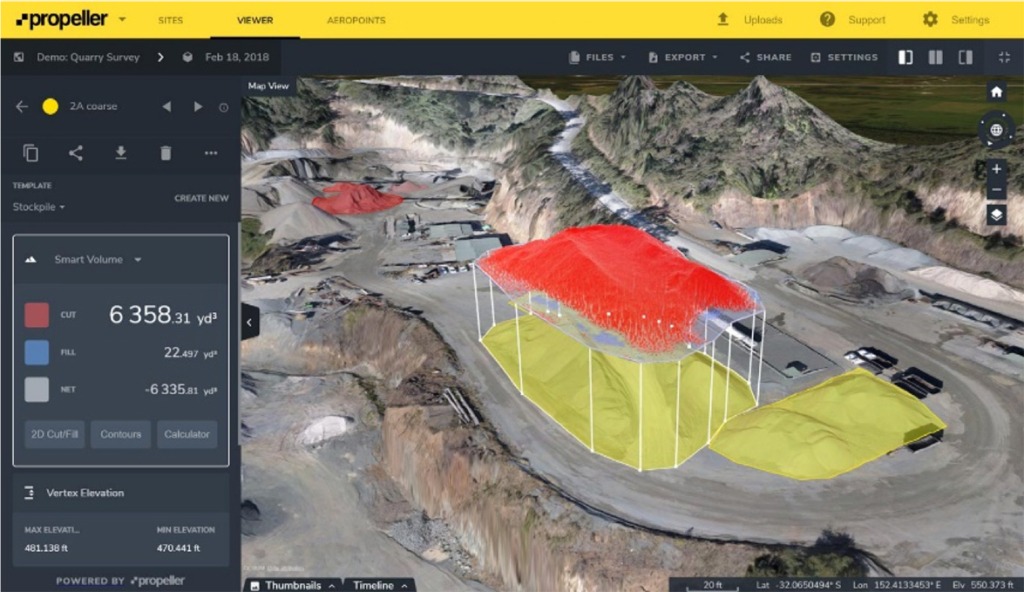
- Construction monitoring and measurement;
- Topographic Surveys;
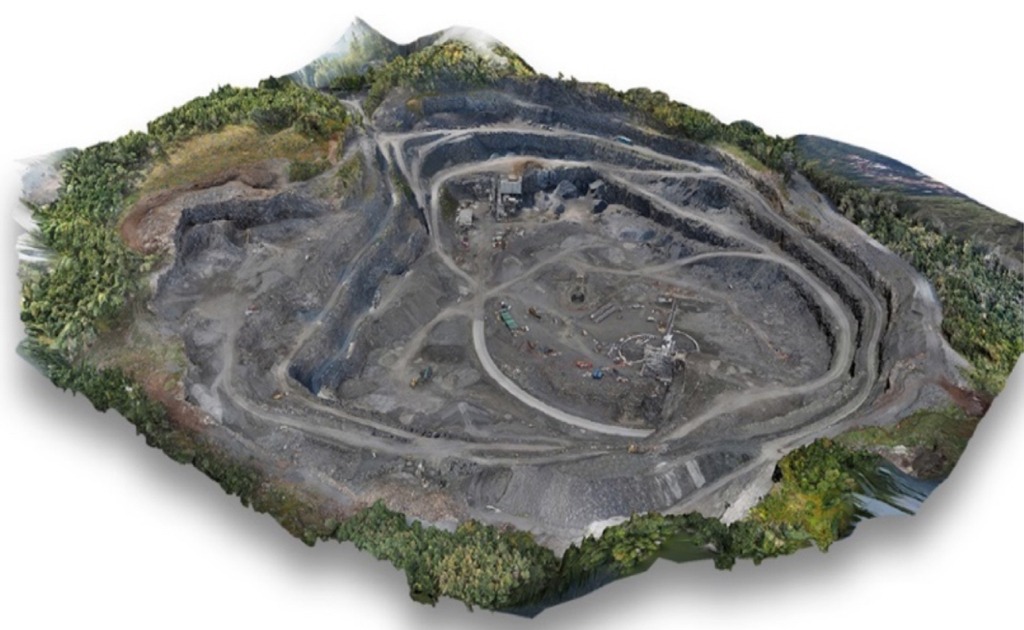
- Mining quantification;
- Oil and gas line monitoring;
- Building inspections;
- Fauna & Wildlife Services;
- Forestry; and
- Emergency services/search and rescue
Companies and government agencies are turning to drones to help carry out many tasks that are expensive, time consuming and have safety risks. Drones can cover large areas and provide highly-detailed and accurate results in a reduced amount of time. This cuts costs, boosts safety and increases output and productivity. RTK, Real Time Kinematic, is the future of drone mapping. With RTK’s advantages – such as accuracy, reduced costs and improved safety – more and more companies, and government agencies, are turning to this technology.
RTK v2 is a GPS correction-technology technique that provides real-time corrections to location data when the survey drone is capturing photos of a site. Real-time correction is a major industry advantage. Utilizing this technology can save up to 75 per cent of time and money spent on drone-mapping set-up, it has been estimated, and can result in centimetre accurate data.
Due to the fact that some of these services are beyond ADC’s define Scope of Practice, we will be working with other Engineering companies and experts that do specialize in these areas, to insure that the data is collected and analyzed according to industry standards and with due care.
Accuracy:
ADC has used drone Photogrammetric technology to determine earth movement quantities in the past, with good success. However, this required many years of training and experience with large earth moving projects using traditional survey techniques to identify errors in the photogrammetric data. Correction factors were implemented until a reasonable estimate was reached. With drone RTK v2 technology there is no need for guess work because of the accuracy of the data collected. The following is a comparison of the accuracy of the two technologies:
1. Photogrammetric Models: Vertical accuracy depends on how close the drone is to the surface. At 25m (82 feet) above ground level a model could theoretically have an accuracy of 1cm or 2cm with a 5cm Absolute Horizontal Accuracy. Not accurate enough for construction of roadways, site grading, pipelines, etc.
2. RTK v2: less than 1cm+1ppm (within mm’s) RTK Horizontal Positioning Accuracy and 1cm+1ppm (within mm’s) RTK Vertical Positioning Accuracy.